
European Atlas of the Seas
European Atlas of the Seas
Learn more about Europe’s seas and coasts, their environment, related human activities and European policies.
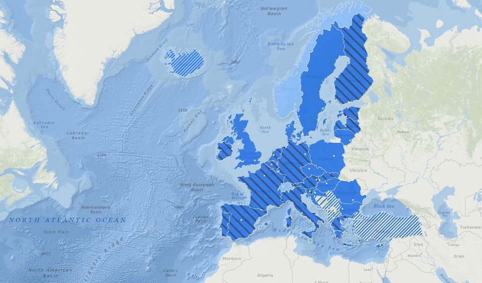
The European Atlas of the Seas (hereafter ‘the Atlas’) is an easy to use and interactive web-based geographic application, providing general marine data and maritime information along with statistics on the European seas and coasts. The Atlas catalogue of maps covers various natural and socio-economic aspects and features in the marine and coastal regions of Europe.
For more information, please visit ec.europa.eu